Skip to main content
Livraison gratuite dès
100 €*
Retour gratuit sous
100 jours
Conseils d'experts
Prendre rendez-vous
Contactez-nous
FAQ
04 85 21 31 82
Me connecter
Accès
Me connecter
Mot de passe oublié
Vêtements
Chaussures
Randonnée
Trail-Running
Escalade
Vélo
Hiver
Activités
Seconde main
Marques
Soldes
Magazine
Conseils d'experts
Soldes d'été 🔥 -5 % EXTRA dès 2 produits code Summer5
Livres & Cartes
Cartes randonnée
Cartes de randonnée
(333 Résultat)
Trier par
Préférés
Nouveautés
Du moins au plus cher
Du plus au moins cher
Promos
Filtrer
(0)
333 Résultats
Trier par
Filtrer
Catégories
Livres & Cartes
Guides & Livres d'aventures
Cartes
Cartes Chamonix
Cartes Massif Central
Cartes GR en France
Marques
Expressmap
IGN
Recommandé pour
Randonnée
Trekking
Voyage
Prix
0€ - 25€
Taille
One Size
Dimensions
96 x 132 cm
132 x 99 cm
96 x 132 cm
96 x 132 cm
96 x 132 cm
96 x 132 cm
Voir 5 de plus
Promotion
10% - 20%
20% - 30%
Trier par
Préférés
Nouveautés
Du moins au plus cher
Du plus au moins cher
Promos
IGN
Forêt D'Iraty - Pic D'Orhy - Carte topographique
13,20 €
IGN
Meije.Pelvoux.Pn Des Ecrins - Carte topographique
13,90 €
IGN
Villefranche-Sur-Saone - Carte topographique
13,90 €
IGN
Forêts de Fontainebleau et des Trois Pignons - Carte topographique
10,24 €
12,80 €
-20%
IGN
Saint-Jean-De-Luz - Hendaye - Carte topographique
13,20 €
IGN
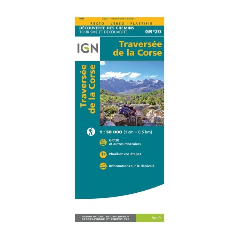
Traversée De La Corse Gr20 - Carte topographique
9,90 €
IGN
Golfe-Du-Morbihan / Ile-De-Groix / Belle-Ile / Presqu'Île-De-Quiberon - Carte topographique
9,50 €
IGN
Plougastel-Daoulas. Le Faou. Pnr D'Armorique - Carte topographique
13,90 €
IGN
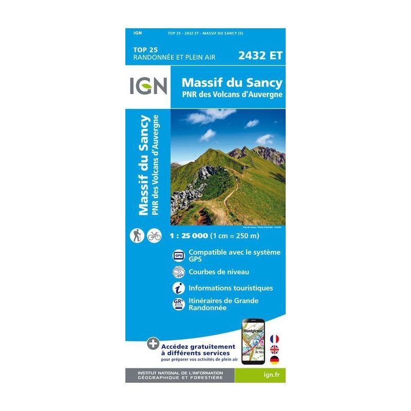
Massif du Sancy - Carte topographique
12,80 €
IGN
Salon-De-Provence / Miramas - Carte topographique
13,90 €
IGN
Morlaix.Plestin-Les-Grèves.Carantec - Carte topographique
13,90 €
IGN
Clermont / Creil / Forêt De Hez / Froidmont - Carte topographique
13,20 €
IGN
Nasbinals / Monts D'Aubrac - Carte topographique
13,20 €
IGN
Massif de la Chartreuse Nord - Carte topographique
13,90 €
IGN
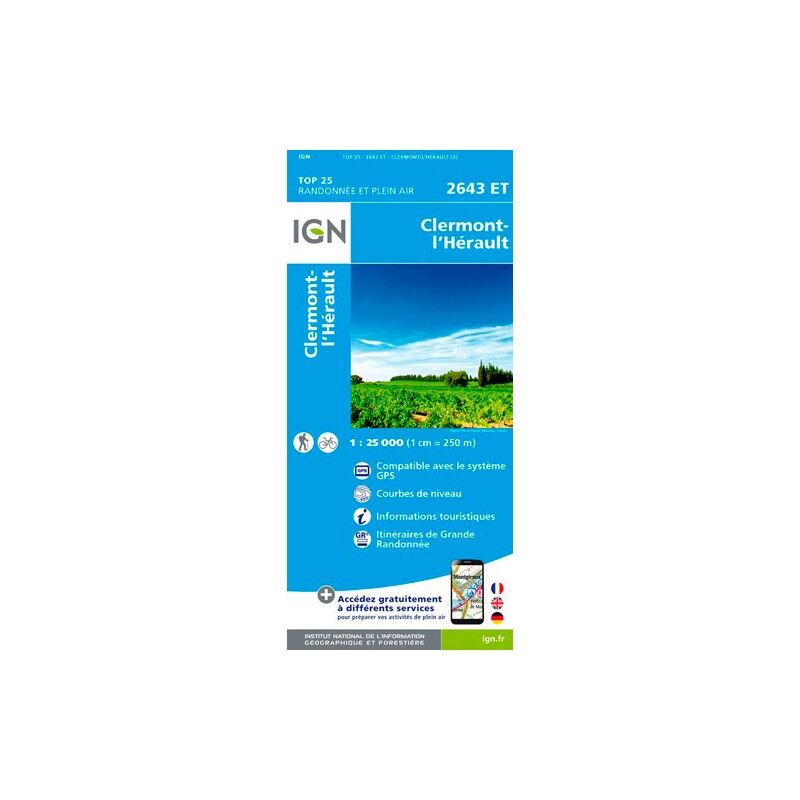
Clermont L'Hérault - Carte topographique
13,20 €
IGN
Saint-Pierre (Réunion) - Carte topographique
13,90 €
IGN
Le Tréport.St-Valery-Sur-Somme.Baie De Somme - Carte topographique
13,90 €
IGN
Capbreton / Vieux Boucau - Carte topographique
13,90 €
IGN
Barr.Le Howald.Villé.Haute Vallée De La Bruche - Carte topographique
13,90 €
IGN
Serres / Veynes / Haut Buëch / Bochaine - Carte topographique
13,90 €
IGN
Monts Du Cantal / Pnr Des Volcans D'Auvergne - Carte topographique
13,90 €
IGN
Le Donon.Obernai.Mont-Sainte-Odile.Vallée De La Bruche - Carte topographique
13,90 €
IGN
Combe Laval - Forêt De Lente / Pnr Du Vercors - Carte topographique
13,90 €
IGN
Chemin de Stevenson - Carte topographique
19,90 €
IGN
Oisans Champsaur - Carte topographique
9,50 €
IGN
Saint-Tropez.Sainte-Maxime.Massif Des Maures - Carte topographique
13,90 €
IGN
Camaret / Presqu'Ile De Crozon - Carte topographique
19,90 €
IGN
Fréjus / Saint-Raphaël - Carte topographique
19,90 €
IGN
Rouen - Carte topographique
13,90 €
IGN
Le Havre / Étretat / Pnr Des Boucles De La Seine Normande - Carte topographique
19,90 €
IGN
Erquy / Val-André / Lamballe - Carte topographique
19,90 €
IGN
Le Lavandou / Pn De Port Cros / Corniche Des Maures - Carte topographique
13,90 €
IGN
Audierne / Pointe Du Raz - Carte topographique
19,90 €
IGN
Pnr Massif Des Bauges - Carte topographique
8,95 €
IGN
Verdon / Lac-De-Ste-Croix / Plateau-De-Valensole - Carte topographique
9,50 €
IGN
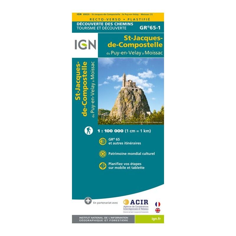
St Jacques. Le Puy / Moissac - Carte topographique
8,95 €
IGN
Monts De Lacaune La Salvetat-Sur-Agout.Pnr Du Haut Languedoc - Carte topographique
13,20 €
IGN
Massif Du Vercors - Carte topographique
9,90 €
IGN
Albertville - Carte topographique
13,20 €
IGN
Saint-Benoît (Réunion) - Carte topographique
13,20 €
IGN
Vallée De La Vésubie / Pn Du Mercantour - Carte topographique
19,90 €
IGN
Vallée Du Dessoubre-Cirque De Consolation.Montagnes Du Lomont - Carte topographique
13,20 €
IGN
Haute Tinée 2.Isola 2000.Pn Du Mercantour - Carte topographique
13,20 €
IGN
Font - Romeu. Capcir - Carte topographique
19,90 €
IGN
Genève.Annemasse.Le Léman - Carte topographique
13,20 €
IGN
Paimpol / Tréguier / Ile De Bréhat - Carte topographique
13,20 €
IGN
Aubagne / La Ciotat / Massif De La Sainte Baume - Carte topographique
19,90 €
IGN
Vallée De La Bévéra Et Des Paillons - Pn Du Mercantour - Carte topographique
13,20 €
IGN
Mulhouse.Forêt Domaniale De La Hardt - Carte topographique
13,20 €
IGN
Bagnères De Bigorre - Carte topographique
19,90 €
IGN
Aspet - Pic De Mauberme - Carte topographique
13,20 €
IGN
Nantua - Carte topographique
13,20 €
IGN
Saint-Malo / Dinard / Dinan - Carte topographique
19,90 €
IGN
Ile-D'Yeu / Saint-Gilles - Croix-De-Vie - Carte topographique
13,20 €
IGN
Bonneville. Cluses. Le Faucigny - Carte topographique
13,20 €
IGN
Massif Du Canigou - Carte topographique
19,90 €
IGN
Aulus Les Bains - Carte topographique
13,20 €
IGN
Thonon - Evian - Lac Léman - Carte topographique
13,20 €
IGN
Vallée De La Roya / Vallée Des Merveilles / Pn Du Mercantour - Carte topographique
19,90 €
IGN
Ambérieu-En-Bugey / Champagne-En-Valromey / Massif Du Bugey - Carte topographique
13,20 €
1
2
3
...
6
Nos marques de chaussures, vêtements et matériel
Patagonia
Ortovox
Rab
La Sportiva
Lowa
Altra
Millet
Moon boot
Helly Hansen
Barbour
Fjällräven
Columbia
Scarpa
Vaude
Mammut
Julbo
New balance
Hanwag
Birkenstock
Petzl
Chaussures, vêtements et matériel : plus de catégories
Doudounes femme
Parkas femme
Polaires femme
Doudounes homme
Parkas homme
Polaires homme
Tentes
Matelas de randonnée
Lampes frontales
Sacs de couchage
Réchauds
Sacs à dos randonnée
Piolets
Chaussures de randonnée
Chaussures de trail
Chaussures de running
Chaussons d'escalade
Chaussures randonnée enfant
Casques vélo
Porte-bébés randonnée
Vêtements enfant
Polaire enfant
Bottes de pluie Aigle enfant
Polaires Patagonia
Doudounes Pyrenex
Vestes Helly Hansen
Polaires Columbia
Lampes frontales Black Diamond
Chaussures Meindl
Sacs à dos Dakine
Cuissards Assos
Casques Giro
Doudounes Rab
Harnais chien
Laisses chien
Sacoches vélo Ortlieb
Chaussures Altra
Tours de cou Buff
Casques vélo Abus
Doudounes Patagonia