Livraison gratuite dès 100 €*
Retour gratuit sous 100 jours
Conseils d'experts

Cartes de randonnée

Trier par
Filtrer
299 Résultats
Trier par
Royaume-Uni / Irlande - Carte topographique
IGNRoyaume-Uni / Irlande - Carte topographique6,80 €
Comparer
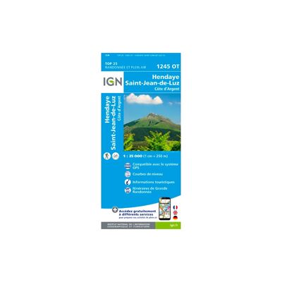
Saint-Jean-De-Luz - Hendaye - Carte topographique
IGNSaint-Jean-De-Luz - Hendaye - Carte topographique13,20 €
Comparer
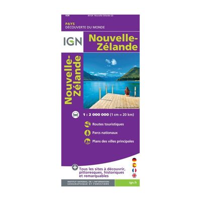
Nouvelle-Zélande - Carte topographique
IGNNouvelle-Zélande - Carte topographique8,95 €
Comparer
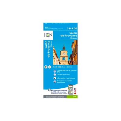
Salon-De-Provence / Miramas - Carte topographique
IGNSalon-De-Provence / Miramas - Carte topographique13,90 €
Comparer
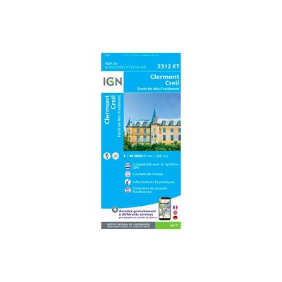
Clermont / Creil / Forêt De Hez / Froidmont - Carte topographique
IGNClermont / Creil / Forêt De Hez / Froidmont - Carte topographique13,20 €
Comparer
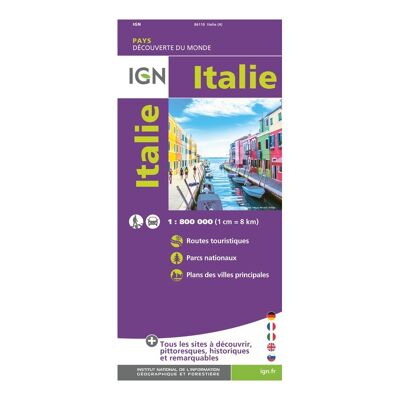
Italie - Carte topographique
IGNItalie - Carte topographique6,80 €
Comparer
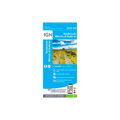
Nasbinals / Monts D'Aubrac - Carte topographique
IGNNasbinals / Monts D'Aubrac - Carte topographique13,20 €
Comparer
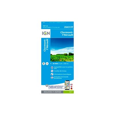
Clermont L'Hérault - Carte topographique
IGNClermont L'Hérault - Carte topographique13,20 €
Comparer
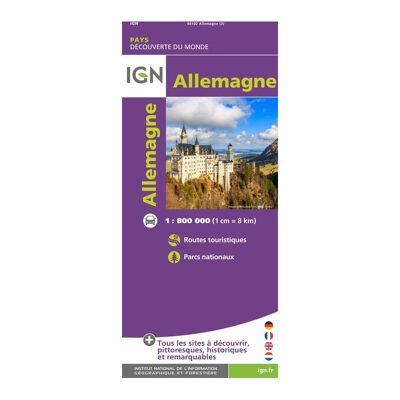
Allemagne - Carte topographique
IGNAllemagne - Carte topographique6,80 €
Comparer
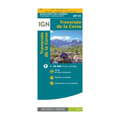
Traversée De La Corse Gr20 - Carte topographique
IGNTraversée De La Corse Gr20 - Carte topographique9,90 €
Comparer

Partager notre goût pour l'aventure

Randonner en famille, skier entre amis et refaire le monde autour d'un feu de bivouac sont nécessaires à notre équilibre. Nous aimons découvrir de nouveaux lieux, de nouvelles personnes et ne résistons jamais au plaisir de partager notre passion pour le bon matériel et les sentiers escarpés.

Nos valeurs +
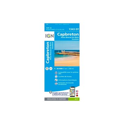
Capbreton / Vieux Boucau - Carte topographique
IGNCapbreton / Vieux Boucau - Carte topographique13,90 €
Comparer
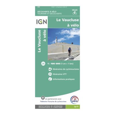
Vaucluse À Vélo - Carte topographique
IGNVaucluse À Vélo - Carte topographique8,95 €
Comparer
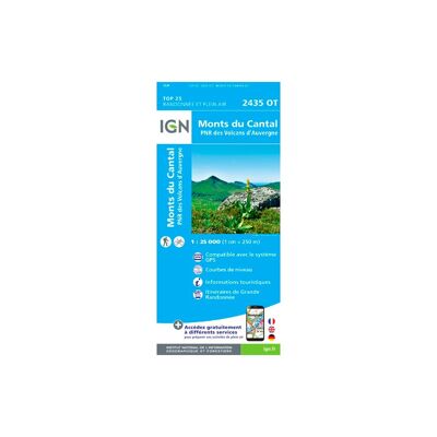
Monts Du Cantal / Pnr Des Volcans D'Auvergne - Carte topographique
IGNMonts Du Cantal / Pnr Des Volcans D'Auvergne - Carte topographique13,90 €
Comparer
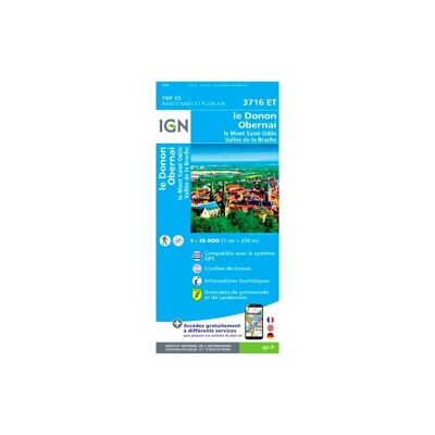
Le Donon.Obernai.Mont-Sainte-Odile.Vallée De La Bruche - Carte topographique
IGNLe Donon.Obernai.Mont-Sainte-Odile.Vallée De La Bruche - Carte topographique13,90 €
Comparer
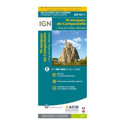
St Jacques. Le Puy / Moissac - Carte topographique
IGNSt Jacques. Le Puy / Moissac - Carte topographique8,95 €
Comparer
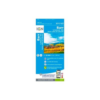
Barr.Le Howald.Villé.Haute Vallée De La Bruche - Carte topographique
IGNBarr.Le Howald.Villé.Haute Vallée De La Bruche - Carte topographique13,90 €
Comparer
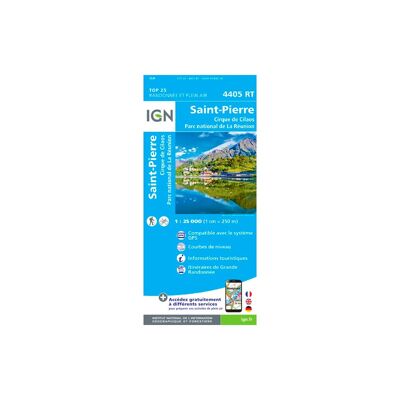
Saint-Pierre (Réunion) - Carte topographique
IGNSaint-Pierre (Réunion) - Carte topographique13,90 €
Comparer
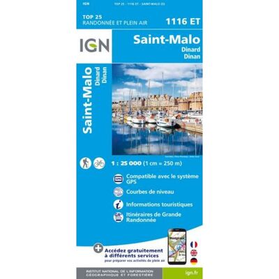
Saint-Malo / Dinard / Dinan - Carte topographique
IGNSaint-Malo / Dinard / Dinan - Carte topographique
11,00 €
19,90 €-44%
Comparer
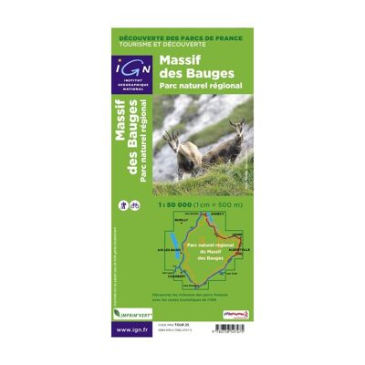
Pnr Massif Des Bauges - Carte topographique
IGNPnr Massif Des Bauges - Carte topographique8,95 €
Comparer
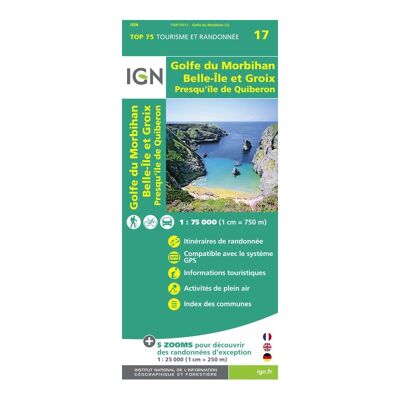
Golfe-Du-Morbihan / Ile-De-Groix / Belle-Ile / Presqu'Île-De-Quiberon - Carte topographique
IGNGolfe-Du-Morbihan / Ile-De-Groix / Belle-Ile / Presqu'Île-De-Quiberon - Carte topographique9,50 €
Comparer
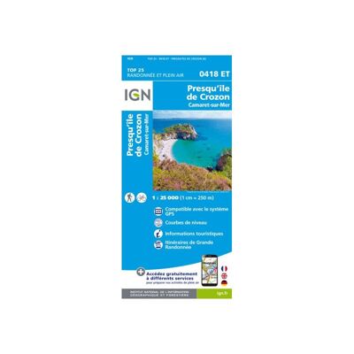
Camaret / Presqu'Ile De Crozon - Carte topographique
IGNCamaret / Presqu'Ile De Crozon - Carte topographique19,90 €
Comparer
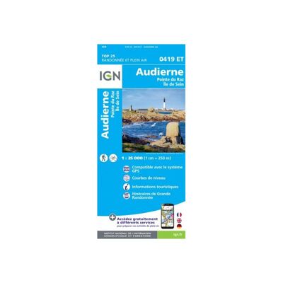
Audierne / Pointe Du Raz - Carte topographique
IGNAudierne / Pointe Du Raz - Carte topographique19,90 €
Comparer
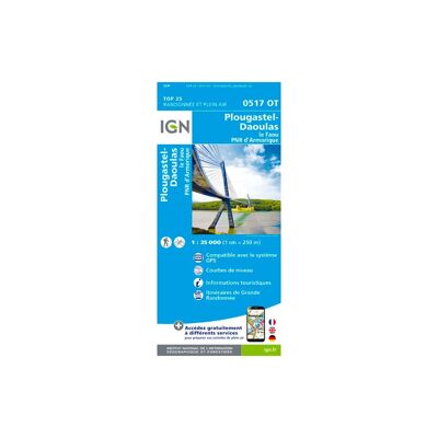
Plougastel-Daoulas. Le Faou. Pnr D'Armorique - Carte topographique
IGNPlougastel-Daoulas. Le Faou. Pnr D'Armorique - Carte topographique13,90 €
Comparer
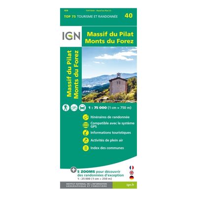
Massif Du Pilat / Monts Du Forez - Carte topographique
IGNMassif Du Pilat / Monts Du Forez - Carte topographique9,50 €
Comparer
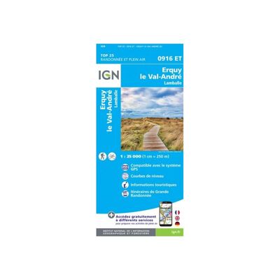
Erquy / Val-André / Lamballe - Carte topographique
IGNErquy / Val-André / Lamballe - Carte topographique19,90 €
Comparer
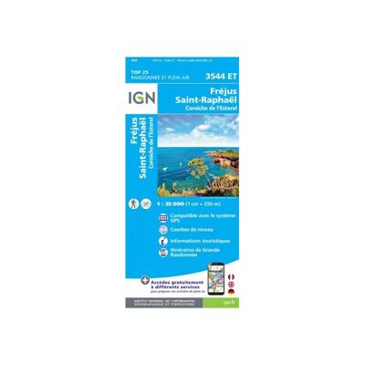
Fréjus / Saint-Raphaël - Carte topographique
IGNFréjus / Saint-Raphaël - Carte topographique19,90 €
Comparer
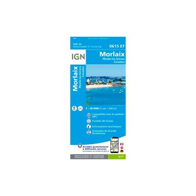
Morlaix.Plestin-Les-Grèves.Carantec - Carte topographique
IGNMorlaix.Plestin-Les-Grèves.Carantec - Carte topographique13,90 €
Comparer
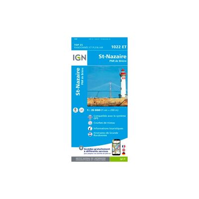
Saint-Nazaire Pnr De Brière - Carte topographique
IGNSaint-Nazaire Pnr De Brière - Carte topographique13,20 €
Comparer
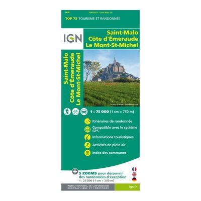
St Malo / Côte D'Emeraude / Mont St Michel - Carte topographique
IGNSt Malo / Côte D'Emeraude / Mont St Michel - Carte topographique9,50 €
Comparer
Ile-D'Yeu / Saint-Gilles - Croix-De-Vie - Carte topographique
IGNIle-D'Yeu / Saint-Gilles - Croix-De-Vie - Carte topographique13,20 €
Comparer
Saint-Jean-Pied-De-Port - Carte topographique
IGNSaint-Jean-Pied-De-Port - Carte topographique13,20 €
Comparer
La Roche Bernard - Pnr De Brière - Carte topographique
IGNLa Roche Bernard - Pnr De Brière - Carte topographique13,20 €
Comparer
Saint-Nazaire / Pornic - Carte topographique
IGNSaint-Nazaire / Pornic - Carte topographique13,20 €
Comparer
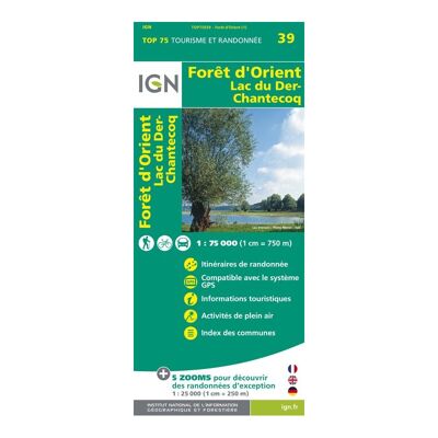
Foret D'Orient / Lac Du Der - Carte topographique
IGNForet D'Orient / Lac Du Der - Carte topographique9,50 €
Comparer
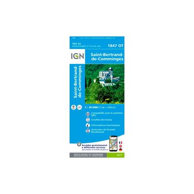
Saint-Bertrand De Comminges - Carte topographique
IGNSaint-Bertrand De Comminges - Carte topographique13,20 €
Comparer
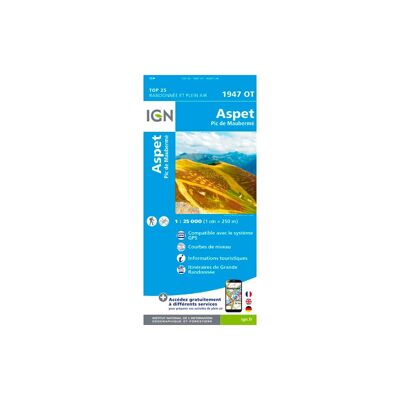
Aspet - Pic De Mauberme - Carte topographique
IGNAspet - Pic De Mauberme - Carte topographique13,20 €
Comparer
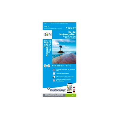
Île De Noirmoutier.Beauvoir-Sur-Mer.Bourgneuf-En-Retz.Marais Breton - Carte topographique
IGNÎle De Noirmoutier.Beauvoir-Sur-Mer.Bourgneuf-En-Retz.Marais Breton - Carte topographique13,20 €
Comparer
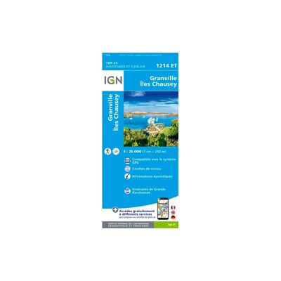
Granville / Coutances / Îles Chausey - Carte topographique
IGNGranville / Coutances / Îles Chausey - Carte topographique13,20 €
Comparer
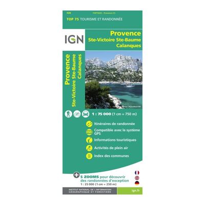
Provence / Ste Victoire / Ste Baume / Calanque - Carte topographique
IGNProvence / Ste Victoire / Ste Baume / Calanque - Carte topographique9,50 €
Comparer
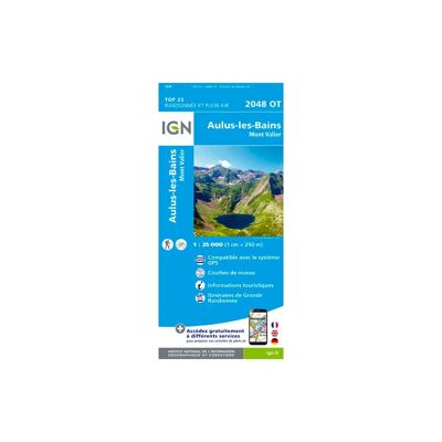
Aulus Les Bains - Carte topographique
IGNAulus Les Bains - Carte topographique13,20 €
Comparer
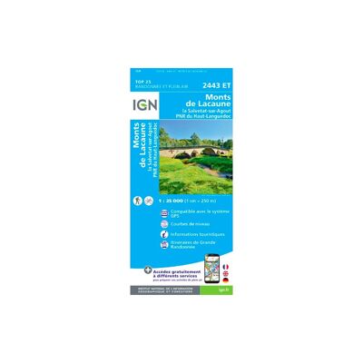
Monts De Lacaune La Salvetat-Sur-Agout.Pnr Du Haut Languedoc - Carte topographique
IGNMonts De Lacaune La Salvetat-Sur-Agout.Pnr Du Haut Languedoc - Carte topographique13,20 €
Comparer
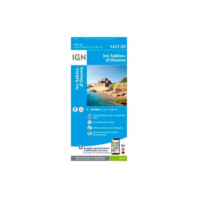
Les Sables-D'Olonne - Carte topographique
IGNLes Sables-D'Olonne - Carte topographique13,20 €
Comparer
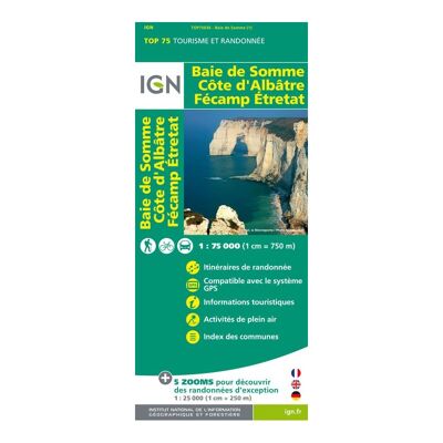
Baie De Somme / Côte D'Albâtre / Fécamp / Etretat - Carte topographique
IGNBaie De Somme / Côte D'Albâtre / Fécamp / Etretat - Carte topographique9,50 €
Comparer
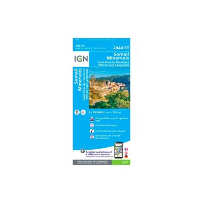
Somail Minervois Saint-Pons-De-Thomières.Pnr Du Haut Languedoc - Carte topographique
IGNSomail Minervois Saint-Pons-De-Thomières.Pnr Du Haut Languedoc - Carte topographique13,20 €
Comparer
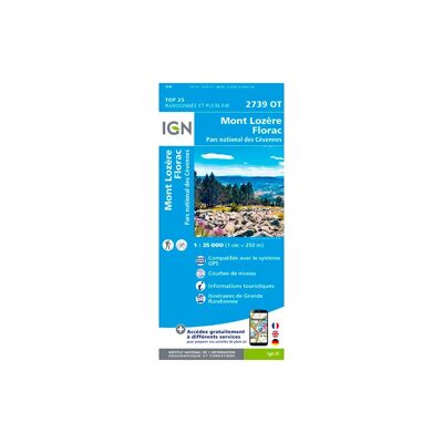
Mont Lozère.Florac.Pn Des Cévennes - Carte topographique
IGNMont Lozère.Florac.Pn Des Cévennes - Carte topographique13,20 €
Comparer
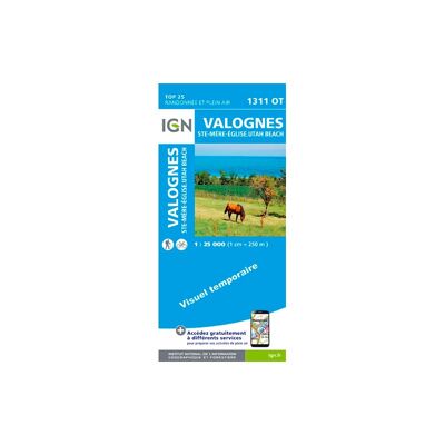
Valognes / Sainte Mère L'Eglise / Utah Beach - Carte topographique
IGNValognes / Sainte Mère L'Eglise / Utah Beach - Carte topographique13,20 €
Comparer
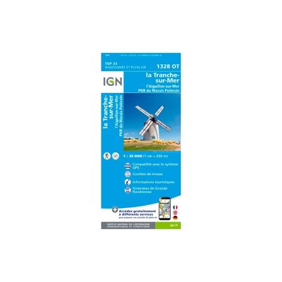
La Tranche Sur Mer - Carte topographique
IGNLa Tranche Sur Mer - Carte topographique13,20 €
Comparer
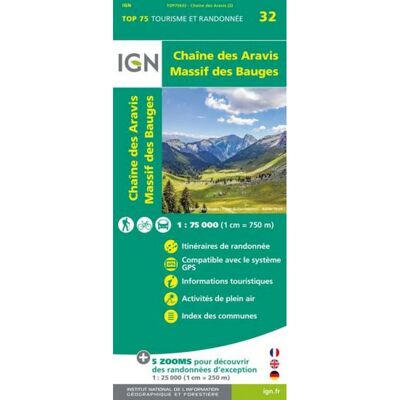
Chaine Des Aravis / Massif Des Bauges - Carte topographique
IGNChaine Des Aravis / Massif Des Bauges - Carte topographique9,90 €
Comparer
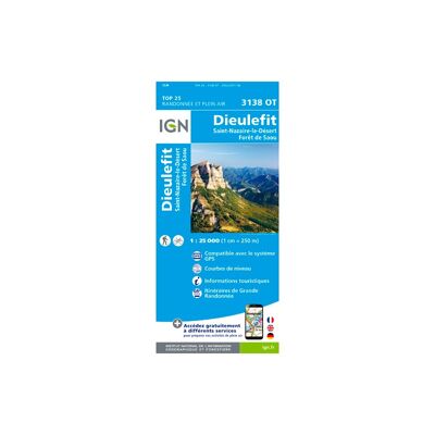
Dieulefit / St-Nazaire-Le-Désert / Forêt De Saou - Carte topographique
IGNDieulefit / St-Nazaire-Le-Désert / Forêt De Saou - Carte topographique13,20 €
Comparer
Nantua - Carte topographique
IGNNantua - Carte topographique13,20 €
Comparer
La Rochelle - Anse De L'Aiguillon - Carte topographique
IGNLa Rochelle - Anse De L'Aiguillon - Carte topographique13,20 €
Comparer
Ile-De-Ré - Carte topographique
IGNIle-De-Ré - Carte topographique13,20 €
Comparer
Ambérieu-En-Bugey / Champagne-En-Valromey / Massif Du Bugey - Carte topographique
IGNAmbérieu-En-Bugey / Champagne-En-Valromey / Massif Du Bugey - Carte topographique13,20 €
Comparer
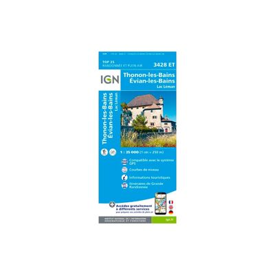
Thonon - Evian - Lac Léman - Carte topographique
IGNThonon - Evian - Lac Léman - Carte topographique13,20 €
Comparer
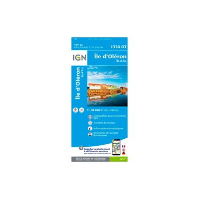
Ile-D'Oléron - Ile-D'Aix - Carte topographique
IGNIle-D'Oléron - Ile-D'Aix - Carte topographique13,20 €
Comparer
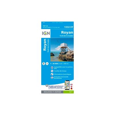
Royan / Forêt De La Coubre - Carte topographique
IGNRoyan / Forêt De La Coubre - Carte topographique13,20 €
Comparer
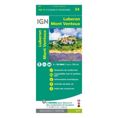
Lubéron.Mont-Ventoux - Carte topographique
IGNLubéron.Mont-Ventoux - Carte topographique9,90 €
Comparer
Bonneville. Cluses. Le Faucigny - Carte topographique
IGNBonneville. Cluses. Le Faucigny - Carte topographique13,20 €
Comparer
Genève.Annemasse.Le Léman - Carte topographique
IGNGenève.Annemasse.Le Léman - Carte topographique13,20 €
Comparer
Etang De Lacanau - Carte topographique
IGNEtang De Lacanau - Carte topographique13,20 €
Comparer
6 €20 €