Skip to main content
Livraison gratuite dès
100 €*
Retour gratuit sous
100 jours
Conseils d'experts
Prendre rendez-vous
Contactez-nous
FAQ
04 85 21 31 82
Me connecter
Accès
Me connecter
Mot de passe oublié
Vêtements
Chaussures
Randonnée
Trail-Running
Escalade
Vélo
Hiver
Activités
Seconde main
Marques
Soldes
Magazine
Conseils d'experts
Soldes d'été 🔥 -5 % EXTRA dès 2 produits code Summer5
Livres & Cartes
Livres d'aventure & Cartes
(347 Résultat)
Trier par
Préférés
Nouveautés
Du moins au plus cher
Du plus au moins cher
Promos
Filtrer
(0)
347 Résultats
Trier par
Filtrer
Catégories
Livres & Cartes
Guides & Livres d'aventures
Cartes
Genre
Homme
Femme
Marques
Editions Ouest France
Expressmap
IGN
Jolie Foulée
Mango Editions
Marabout
Patagonia
Rando Editions
Vagnon Editions
Voir 3 de plus
Recommandé pour
Randonnée
Trail
Running
Trekking
Voyage
Lifestyle
Voir 2 de plus
Prix
0€ - 25€
25€ - 50€
Promotion
0% - 10%
10% - 20%
20% - 30%
30% - 40%
Type
Livre
Label
Recyclé
Trier par
Préférés
Nouveautés
Du moins au plus cher
Du plus au moins cher
Promos
IGN
Le Lamentin.Presqu'Île De La Caravelle.Pnr De Martinique - Carte topographique
13,20 €
IGN
Saint-Maximin-La-Sainte-Baume / Barjols / Trets / Mont Aurelien - Carte topographique
13,20 €
IGN
Baume-Les-Dames-Vallée Du Doubs - Carte topographique
13,20 €
IGN
Presqu'Ile De Quiberon / Auray / Carnac - Carte topographique
13,20 €
IGN
Sarreguemines-Vallée De La Sarre - Carte topographique
13,20 €
IGN
Saintes-Maries-De-La-Mer / Pnr De Camargue - Carte topographique
13,20 €
IGN
Rumilly - Carte topographique
13,20 €
IGN
Saint-Martin De Crau / Fontvieille - Carte topographique
13,20 €
IGN
La Rochelle - Anse De L'Aiguillon - Carte topographique
13,20 €
IGN
Nîmes / Beaucaire - Carte topographique
13,20 €
IGN
Champagnole.Lac De Chalain.Pic De L'Aigle - Carte topographique
13,20 €
IGN
Castets / Lit Et Mixte / Léon - Carte topographique
13,20 €
IGN
Forêt De Mormal - Carte topographique
13,20 €
IGN
Vaucluse À Vélo - Carte topographique
8,95 €
IGN
Aigues Mortes.La Grande Motte - Carte topographique
13,20 €
IGN
Porto.Calanche De Piana.Pnr De Corse - Carte topographique
13,20 €
IGN
Provence / Ste Victoire / Ste Baume / Calanque - Carte topographique
9,50 €
IGN
Etang De Berre / Istres / Marignane / Martigues - Carte topographique
13,20 €
IGN
Bastia.Golfe De Saint-Florent - Carte topographique
13,20 €
IGN
Rocamadour / Padirac - Carte topographique
13,20 €
IGN
Bussang.Ballon D'Alsace.Le Grand Ballon - Carte topographique
13,20 €
IGN
Bourg-Argental.Col De La République.Pnr Du Pilat - Carte topographique
13,20 €
IGN
Vosges Du Nord - Carte topographique
9,50 €
IGN
Saint-Nazaire / Pornic - Carte topographique
13,20 €
IGN
Axat.Quérigut.Gorges De L'Aude - Carte topographique
13,20 €
IGN
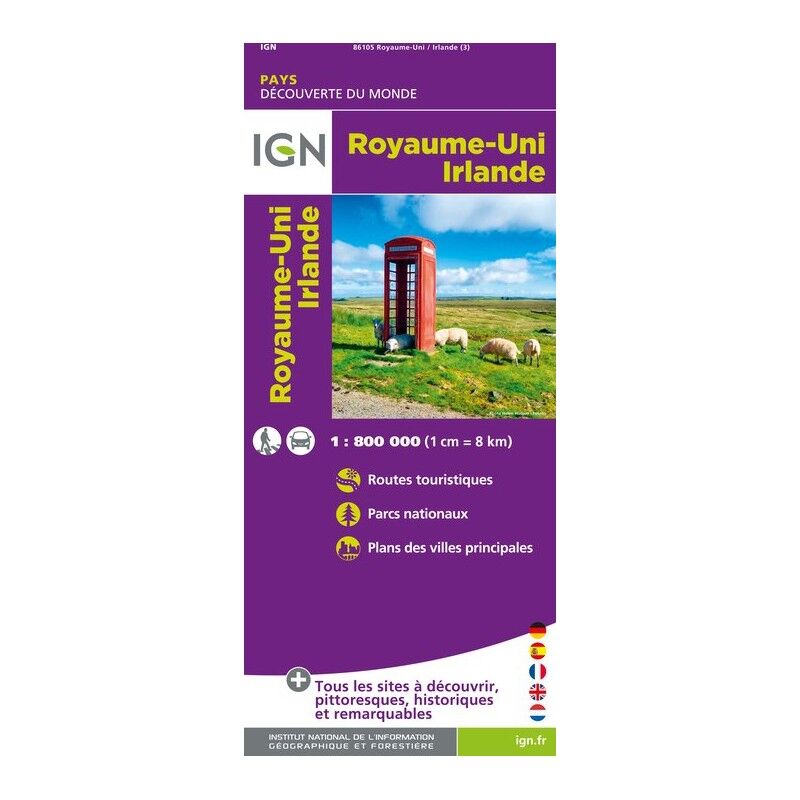
Royaume-Uni / Irlande - Carte topographique
6,80 €
IGN
Nyons / Remuzat / Baronnies - Carte topographique
13,20 €
IGN
Ile Saint-Martin / Ile Saint-Barthelemy(Guadeloupe) - Carte topographique
13,20 €
IGN
Haute Vallée Du Var / Gorges De Daluis / Pn Du Mercantour - Carte topographique
13,20 €
IGN
Annot.Saint-André-Les-Alpes.Pnr Du Verdon - Carte topographique
13,20 €
IGN
St François - Grande Terre - Marie-Galante - La Désirade - Carte topographique
13,20 €
IGN
Gorges Du Verdon - Carte topographique
9,90 €
IGN
Manosque / Forcalquier / Pnr Du Luberon - Carte topographique
13,20 €
Rando Editions
Chateaux De La Loire A Velo - Guide
11,90 €
12,50 €
-5%
IGN
St Jacques. Moissac / Ronceveaux - Carte topographique
8,95 €
Vagnon Editions
Premiers Secours Running - Guide
4,95 €
5,95 €
-17%
Expressmap
Mont Aconcagua 1 / 50.000 - Carte topographique
13,00 €
15,95 €
-18%
IGN
Ajaccio / Porto Vecchio / Aiguilles De Bavella / Monte Renoso - Carte topographique
9,50 €
Rando Editions
Randonnees Dans Les Calanques (N.Ed.) - Livre
9,90 €
9,95 €
-1%
IGN
Diois / Devoluy / Hautevallée De La Drome - Carte topographique
9,50 €
IGN
Australie - Carte topographique
8,95 €
IGN
Massif Du Pilat / Monts Du Forez - Carte topographique
9,50 €
IGN
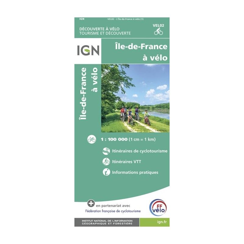
L'Ile De France À Vélo - Carte topographique
8,95 €
Patagonia
Let My People Go Surfing - French Version
30,90 €
Patagonia
Let My People Go Surfing - Italian Version
29,90 €
Eco-conçu
Patagonia
Let My People Go Surfing - Revised Edition - Paperback
29,90 €
Patagonia
Let My People Go Surfing - German Version
29,90 €
1
...
4
5
6
Nos marques de chaussures, vêtements et matériel
Patagonia
Ortovox
Rab
La Sportiva
Lowa
Altra
Millet
Moon boot
Helly Hansen
Barbour
Fjällräven
Columbia
Scarpa
Vaude
Mammut
Julbo
New balance
Hanwag
Birkenstock
Petzl
Chaussures, vêtements et matériel : plus de catégories
Doudounes femme
Parkas femme
Polaires femme
Doudounes homme
Parkas homme
Polaires homme
Tentes
Matelas de randonnée
Lampes frontales
Sacs de couchage
Réchauds
Sacs à dos randonnée
Piolets
Chaussures de randonnée
Chaussures de trail
Chaussures de running
Chaussons d'escalade
Chaussures randonnée enfant
Casques vélo
Porte-bébés randonnée
Vêtements enfant
Polaire enfant
Bottes de pluie Aigle enfant
Polaires Patagonia
Doudounes Pyrenex
Vestes Helly Hansen
Polaires Columbia
Lampes frontales Black Diamond
Chaussures Meindl
Sacs à dos Dakine
Cuissards Assos
Casques Giro
Doudounes Rab
Harnais chien
Laisses chien
Sacoches vélo Ortlieb
Chaussures Altra
Tours de cou Buff
Casques vélo Abus
Doudounes Patagonia