Skip to main content
Livraison gratuite dès
100 €*
Retour gratuit sous
100 jours
Conseils d'experts
Prendre rendez-vous
Contactez-nous
FAQ
04 85 21 31 82
Me connecter
Accès
Me connecter
Mot de passe oublié
Vêtements
Chaussures
Randonnée
Trail-Running
Escalade
Vélo
Hiver
Activités
Seconde main
Marques
Soldes
Magazine
Conseils d'experts
Soldes d'été 🔥 -5 % EXTRA dès 2 produits* code Summer5
Livres & Cartes
Livres d'aventure & Cartes
(342 Résultat)
Trier par
Préférés
Nouveautés
Du moins au plus cher
Du plus au moins cher
Promos
Filtrer
(0)
342 Résultats
Trier par
Filtrer
Catégories
Livres & Cartes
Guides & Livres d'aventures
Cartes
Genre
Homme
Femme
Marques
Editions Ouest France
Expressmap
IGN
Jolie Foulée
Mango Editions
Marabout
Rando Editions
Vagnon Editions
Voir 2 de plus
Prix
0€ - 25€
25€ - 50€
Recommandé pour
Randonnée
Trail
Running
Trekking
Voyage
Vélo
Voir 2 de plus
Promotion
0% - 10%
10% - 20%
20% - 30%
30% - 40%
Type
Livre
Trier par
Préférés
Nouveautés
Du moins au plus cher
Du plus au moins cher
Promos
IGN
Lamentin - Basse Terre - Carte topographique
13,20 €
IGN
Valence / Corniche De L'Eyrieux - Carte topographique
13,20 €
IGN
La Rochelle - Anse De L'Aiguillon - Carte topographique
13,20 €
IGN
Mimizan / Lac D'Aureihan - Carte topographique
13,20 €
IGN
St-Claude.Lac De Vouglans.Pnr Du Haut Jura - Carte topographique
13,20 €
IGN
Angers - Carte topographique
13,20 €
IGN
Macon Cluny Roche De Solutré - Carte topographique
13,20 €
IGN
Haute Vallée Du Var / Gorges De Daluis / Pn Du Mercantour - Carte topographique
13,20 €
IGN
Arles.Pnr De Camargue - Carte topographique
13,20 €
IGN
Chinon / Langeais / Azay Le Rideau - Carte topographique
13,20 €
IGN
St François - Grande Terre - Marie-Galante - La Désirade - Carte topographique
13,20 €
IGN
Cervione.Pnr De Corse - Carte topographique
13,20 €
IGN
Palaiseau / Arpajon / Frêt De Verrières - Carte topographique
13,20 €
IGN
Gorges Du Verdon - Carte topographique
9,90 €
IGN
Vico.Cargèse.Golfe De Sagone.Pnr De Corse - Carte topographique
13,20 €
IGN
Rumilly - Carte topographique
13,20 €
IGN
Saintes-Maries-De-La-Mer / Pnr De Camargue - Carte topographique
13,20 €
IGN
Alès - Carte topographique
13,20 €
IGN
Cap Corse - Carte topographique
13,20 €
IGN
St Jacques. Moissac / Ronceveaux - Carte topographique
8,95 €
IGN
Nuits-Saint-Georges - Carte topographique
13,20 €
IGN
Hourtin. Lacs D'Houtin Et De Carcans - Carte topographique
13,20 €
IGN
Saint-Nazaire Pnr De Brière - Carte topographique
13,20 €
IGN
Oyonnax.Gorges De L'Ain.Pnr Du Haut Jura - Carte topographique
13,20 €
IGN
Lourdes / Argelès-Gazost - Carte topographique
13,20 €
IGN
Pau - Carte topographique
13,20 €
IGN
Montbéliard-Vallée Du Doubs - Carte topographique
13,20 €
IGN
Ornans-Source De La Loue - Carte topographique
13,20 €
IGN
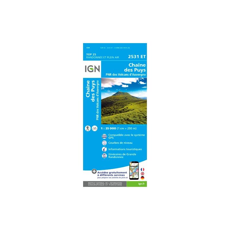
Chaîne Des Puys / Pnr Des Volcans D'Auvergne - Carte topographique
13,20 €
IGN
Presqu'Ile De Quiberon / Auray / Carnac - Carte topographique
13,20 €
IGN
Bayeux / Arromanches-Les-Bains / Plages Du Débarquement - Carte topographique
13,20 €
IGN
Le Chambon Sur Lignon / St Agreve - Carte topographique
13,20 €
IGN
Sarrebourg.Phalsbourg.Pays Des Etangs - Carte topographique
13,20 €
IGN
Bourg-Argental.Col De La République.Pnr Du Pilat - Carte topographique
13,20 €
IGN
Champsaur.Vieux Chaillol.Pn Des Ecrins - Carte topographique
13,20 €
IGN
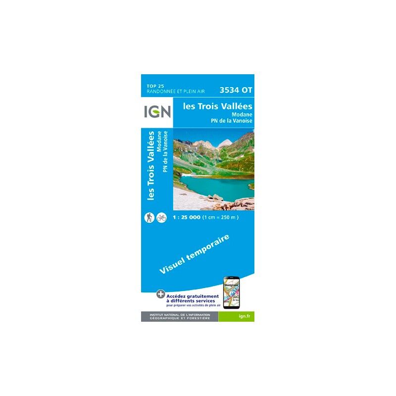
Les Trois Vallées.Modane.Pn De La Vanoise - Carte topographique
13,20 €
IGN
Dannemarie.Delle.Sundgau - Carte topographique
13,20 €
IGN
Vallée De L'Esteron / Vallée Du Loup - Carte topographique
13,20 €
IGN
Marne-La-Vallée.Forêts De Crécy.D'Armainvilliers Et De Ferrières - Carte topographique
13,20 €
IGN
Granville / Coutances / Îles Chausey - Carte topographique
13,20 €
IGN
Tuchan / Massif Des Corbières - Carte topographique
13,20 €
IGN
Mont Salève. St-Julien-En-Genevois - Carte topographique
13,20 €
IGN
Crêt De La Neige.Oyonnax.Lélex.Pnr Du Haut Jura - Carte topographique
13,20 €
IGN
Beaujeu / Belleville / Haut Beaujolais - Carte topographique
13,20 €
IGN
L'Arbresle / Monts De Tarare - Carte topographique
13,20 €
IGN
Quillan / Alet Les Bains - Carte topographique
13,20 €
IGN
Ajaccio / Porto Vecchio / Aiguilles De Bavella / Monte Renoso - Carte topographique
9,50 €
IGN
La Roche Bernard - Pnr De Brière - Carte topographique
13,20 €
IGN
Belley.Saint--Genix-Sur-Guiers.Sud Bugey - Carte topographique
13,20 €
IGN
Pont L'Abbé / Pointe De Penmarc'H - Carte topographique
13,20 €
IGN
Le Grand Ballon.Cernay.Guebwiller - Carte topographique
13,20 €
IGN
Cannes - Grasses - Carte topographique
13,20 €
IGN
Forêt D'Iraty - Pic D'Orhy - Carte topographique
13,20 €
IGN
Champagnole.Lac De Chalain.Pic De L'Aigle - Carte topographique
13,20 €
IGN
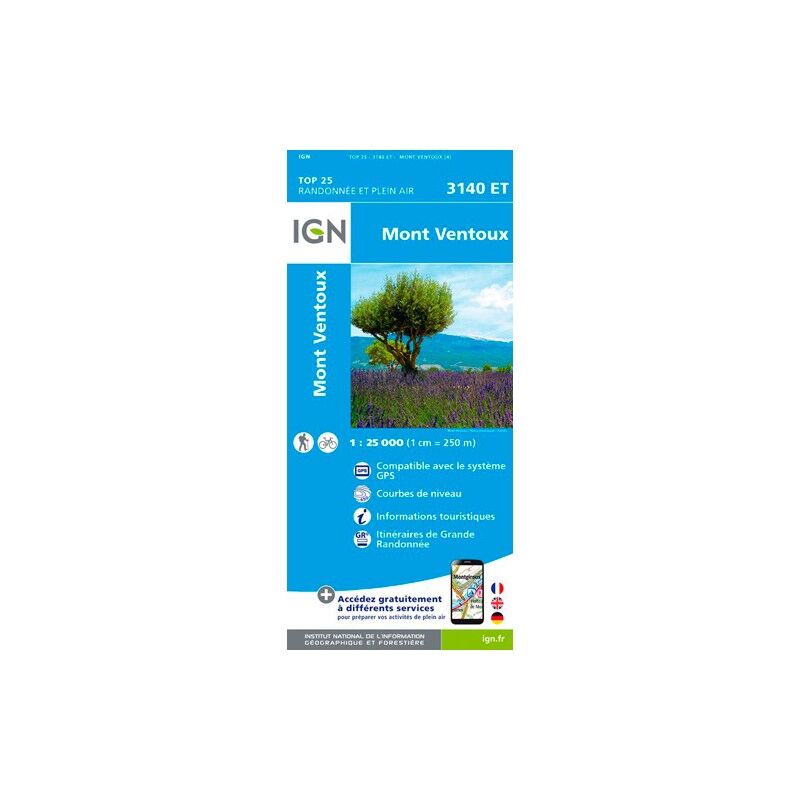
Mont Ventoux - Carte topographique
13,20 €
IGN
Saint-Girons.Couserans - Carte topographique
13,20 €
IGN
Saint-Maximin-La-Sainte-Baume / Barjols / Trets / Mont Aurelien - Carte topographique
13,20 €
IGN
Orange. Massif D'Uchaux - Carte topographique
13,20 €
IGN
Bessèges Les Vans.Vallée Du Chassezac - Carte topographique
13,20 €
IGN
Moyenne Tinée / La Colmiane-Valdeblore / Pn Du Mercantour - Carte topographique
13,20 €
1
2
3
4
5
6
Nos marques de chaussures, vêtements et matériel
Patagonia
Ortovox
Rab
La Sportiva
Lowa
Altra
Millet
Moon boot
Helly Hansen
Barbour
Fjällräven
Columbia
Scarpa
Vaude
Mammut
Julbo
New balance
Hanwag
Birkenstock
Petzl
Chaussures, vêtements et matériel : plus de catégories
Doudounes femme
Parkas femme
Polaires femme
Doudounes homme
Parkas homme
Polaires homme
Tentes
Matelas de randonnée
Lampes frontales
Sacs de couchage
Réchauds
Sacs à dos randonnée
Piolets
Chaussures de randonnée
Chaussures de trail
Chaussures de running
Chaussons d'escalade
Chaussures randonnée enfant
Casques vélo
Porte-bébés randonnée
Vêtements enfant
Polaire enfant
Bottes de pluie Aigle enfant
Polaires Patagonia
Doudounes Pyrenex
Vestes Helly Hansen
Polaires Columbia
Lampes frontales Black Diamond
Chaussures Meindl
Sacs à dos Dakine
Cuissards Assos
Casques Giro
Doudounes Rab
Harnais chien
Laisses chien
Sacoches vélo Ortlieb
Chaussures Altra
Tours de cou Buff
Casques vélo Abus
Doudounes Patagonia