Skip to main content
Livraison gratuite dès
100 €*
Retour gratuit sous
100 jours
Conseils d'experts
Prendre rendez-vous
Contactez-nous
FAQ
04 85 21 31 82
Me connecter
Accès
Me connecter
Mot de passe oublié
Vêtements
Chaussures
Randonnée
Trail-Running
Escalade
Vélo
Hiver
Activités
Seconde main
Marques
Soldes
Magazine
Conseils d'experts
Soldes d'été 🔥 -5 % EXTRA dès 2 produits* code Summer5
Livres & Cartes
Livres d'aventure & Cartes
(342 Résultat)
Trier par
Préférés
Nouveautés
Du moins au plus cher
Du plus au moins cher
Promos
Filtrer
(0)
342 Résultats
Trier par
Filtrer
Catégories
Livres & Cartes
Guides & Livres d'aventures
Cartes
Genre
Homme
Femme
Marques
Editions Ouest France
Expressmap
IGN
Jolie Foulée
Mango Editions
Marabout
Rando Editions
Vagnon Editions
Voir 2 de plus
Prix
0€ - 25€
25€ - 50€
Recommandé pour
Randonnée
Trail
Running
Trekking
Voyage
Vélo
Voir 2 de plus
Promotion
0% - 10%
10% - 20%
20% - 30%
30% - 40%
Type
Livre
Trier par
Préférés
Nouveautés
Du moins au plus cher
Du plus au moins cher
Promos
IGN
Ornans-Source De La Loue - Carte topographique
13,20 €
IGN
Baie De Somme / Côte D'Albâtre / Fécamp / Etretat - Carte topographique
9,50 €
IGN
Aix En Provence / Vitrolles / Lambesc - Carte topographique
13,20 €
IGN
Bastia.Golfe De Saint-Florent - Carte topographique
13,20 €
IGN
Quimperlé / Pont-Aven - Carte topographique
13,20 €
IGN
Rochefort / Marennes - Carte topographique
13,20 €
IGN
Lodève / Bédarieux-Lac De Salagou - Carte topographique
13,20 €
IGN
Soulac-Sur-Mer.Montalivet.Pointe De Grave - Carte topographique
13,20 €
IGN
Carpentras. Vaison La Romaine. Dentelles De Montmirail - Carte topographique
13,20 €
IGN
Mont Salève. St-Julien-En-Genevois - Carte topographique
13,20 €
IGN
Rocamadour / Padirac - Carte topographique
13,20 €
IGN
St-Claude.Lac De Vouglans.Pnr Du Haut Jura - Carte topographique
13,20 €
IGN
Saverne.Wasselonne.Rocher De Dabo - Carte topographique
13,20 €
IGN
Meaux.Vallée De L'Ourcq - Carte topographique
13,20 €
IGN
Millau - Gorges De La Dourbie - Carte topographique
13,20 €
IGN
La Tranche Sur Mer - Carte topographique
13,20 €
IGN
Bourg-Argental.Col De La République.Pnr Du Pilat - Carte topographique
13,20 €
IGN
Castets / Lit Et Mixte / Léon - Carte topographique
13,20 €
IGN
Dammartin-En-Goële - Carte topographique
13,20 €
IGN
Glandasse - Col De La Croix Haute. Pnr Vercors - Carte topographique
13,20 €
IGN
Arbois.Salins-Les-Bains.Forêt Domaniale De La Joux - Carte topographique
13,20 €
IGN
Beaujeu / Belleville / Haut Beaujolais - Carte topographique
13,20 €
IGN
Orcières-Merlette.Sirac.Mourre Froid.Pn Des Écrins - Carte topographique
13,20 €
IGN
Valognes / Sainte Mère L'Eglise / Utah Beach - Carte topographique
13,20 €
IGN
Saint-Hippolyte-Du-Fort.Anduze Saint-Jean-Du-Gard - Carte topographique
13,20 €
IGN
Montbéliard-Vallée Du Doubs - Carte topographique
13,20 €
IGN
Vallée De L'Esteron / Vallée Du Loup - Carte topographique
13,20 €
IGN
Wissembourg.Lauterbourg-Soufflenheim - Carte topographique
13,20 €
IGN
Vescovato.Castagniccia.Pnr De Corse - Carte topographique
13,20 €
IGN
Perpignan.Plages Du Roussillon - Carte topographique
13,20 €
IGN
Axat.Quérigut.Gorges De L'Aude - Carte topographique
13,20 €
IGN
Quimper / Concarneau / Îles De Glénan - Carte topographique
13,20 €
IGN
Angers - Carte topographique
13,20 €
IGN
St-Chinian / L'Étang De Montady - Carte topographique
13,20 €
IGN
Cambo Les Bains - Carte topographique
13,20 €
IGN
Ile D'Ouessant / Le Conquet - Carte topographique
13,20 €
IGN
Le Muy / Lorgues / Montagne De Roquebrune / Massif Des Maures - Carte topographique
13,20 €
IGN
Le Crotoy.Fort-Mahon-Plage.Baie De Somme.Forêt De Crécy - Carte topographique
13,20 €
IGN
Presqu'Ile De Quiberon / Auray / Carnac - Carte topographique
13,20 €
IGN
Haute Tinée 1 / Auron / Pn Du Mercantour - Carte topographique
13,20 €
IGN
Aigues Mortes.La Grande Motte - Carte topographique
13,20 €
IGN
Etang De Lacanau - Carte topographique
13,20 €
IGN
Bussang.Ballon D'Alsace.Le Grand Ballon - Carte topographique
13,20 €
IGN
Oyonnax.Gorges De L'Ain.Pnr Du Haut Jura - Carte topographique
13,20 €
IGN
Mouthe / Matabief / Le Mont D'Or - Carte topographique
13,20 €
IGN
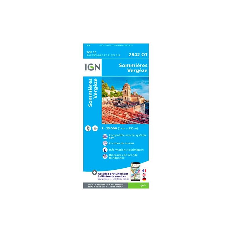
Sommières Vergèze - Carte topographique
13,20 €
IGN
Porto-Vecchio.Pnr De Corse - Carte topographique
13,20 €
IGN
Palaiseau / Arpajon / Frêt De Verrières - Carte topographique
13,20 €
IGN
Épinal.Bruyères.Vallée De La Moselle - Carte topographique
13,20 €
IGN
Biscarosse.Lacs De Cazaux Et De Sanguinet, De Biscarosse Et De Parentis - Carte topographique
13,20 €
IGN
Strasbourg.Erstein.Le Ried - Carte topographique
13,20 €
IGN
Plougerneau Les Abers - Carte topographique
13,20 €
IGN
Marne-La-Vallée.Forêts De Crécy.D'Armainvilliers Et De Ferrières - Carte topographique
13,20 €
IGN
Villers-Cotterêts / Forêt De Retz - Carte topographique
13,20 €
IGN
Sartène.Montagne De Cagna.Pnr De Corse - Carte topographique
13,20 €
IGN
Montpellier.Palavas-Les Flots - Carte topographique
13,20 €
IGN
Pontarlier.Levier-Lac De St-Point - Carte topographique
13,20 €
IGN
Bayeux / Arromanches-Les-Bains / Plages Du Débarquement - Carte topographique
13,20 €
IGN
Gérardmer.Le Hohneck.La Bresse - Carte topographique
13,20 €
IGN
Nice.Menton.Côte-D'Azur - Carte topographique
13,20 €
1
2
3
4
5
6
Nos marques de chaussures, vêtements et matériel
Patagonia
Ortovox
Rab
La Sportiva
Lowa
Altra
Millet
Moon boot
Helly Hansen
Barbour
Fjällräven
Columbia
Scarpa
Vaude
Mammut
Julbo
New balance
Hanwag
Birkenstock
Petzl
Chaussures, vêtements et matériel : plus de catégories
Doudounes femme
Parkas femme
Polaires femme
Doudounes homme
Parkas homme
Polaires homme
Tentes
Matelas de randonnée
Lampes frontales
Sacs de couchage
Réchauds
Sacs à dos randonnée
Piolets
Chaussures de randonnée
Chaussures de trail
Chaussures de running
Chaussons d'escalade
Chaussures randonnée enfant
Casques vélo
Porte-bébés randonnée
Vêtements enfant
Polaire enfant
Bottes de pluie Aigle enfant
Polaires Patagonia
Doudounes Pyrenex
Vestes Helly Hansen
Polaires Columbia
Lampes frontales Black Diamond
Chaussures Meindl
Sacs à dos Dakine
Cuissards Assos
Casques Giro
Doudounes Rab
Harnais chien
Laisses chien
Sacoches vélo Ortlieb
Chaussures Altra
Tours de cou Buff
Casques vélo Abus
Doudounes Patagonia