Livraison gratuite dès 100 €*
Retour gratuit sous 100 jours
Conseils d'experts
  • Livres & Cartes

Livres d'aventure & Cartes

Trier par
Filtrer
320 Résultats
Trier par
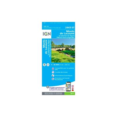
Monts De Lacaune La Salvetat-Sur-Agout.Pnr Du Haut Languedoc - Carte topographique
IGNMonts De Lacaune La Salvetat-Sur-Agout.Pnr Du Haut Languedoc - Carte topographique13,20 €
Comparer
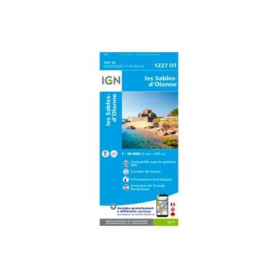
Les Sables-D'Olonne - Carte topographique
IGNLes Sables-D'Olonne - Carte topographique13,20 €
Comparer
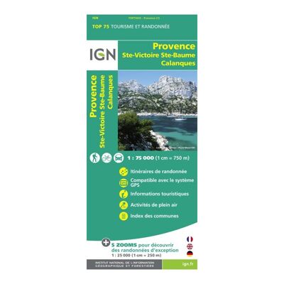
Provence / Ste Victoire / Ste Baume / Calanque - Carte topographique
IGNProvence / Ste Victoire / Ste Baume / Calanque - Carte topographique9,50 €
Comparer
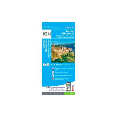
Somail Minervois Saint-Pons-De-Thomières.Pnr Du Haut Languedoc - Carte topographique
IGNSomail Minervois Saint-Pons-De-Thomières.Pnr Du Haut Languedoc - Carte topographique13,20 €
Comparer

Être gentil et bienveillant

Bien plus que de simples mots affichés sur les murs de notre chaleureux refuge, cette valeur guide nos actions. Nous sommes convaincus que mettre la gentillesse et la bienveillance au coeur de nos relations nous permettront d'aller plus vite et bien plus loin tout en profitant du chemin...

Nos valeurs +
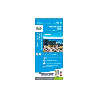
Mont Lozère.Florac.Pn Des Cévennes - Carte topographique
IGNMont Lozère.Florac.Pn Des Cévennes - Carte topographique13,20 €
Comparer
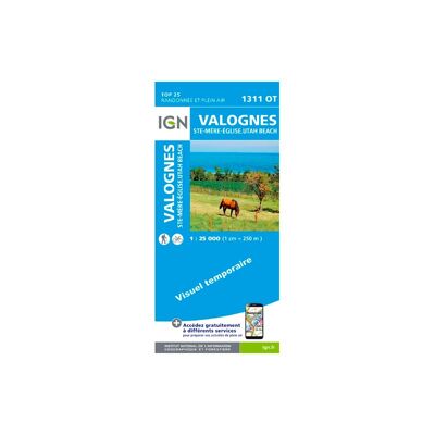
Valognes / Sainte Mère L'Eglise / Utah Beach - Carte topographique
IGNValognes / Sainte Mère L'Eglise / Utah Beach - Carte topographique13,20 €
Comparer
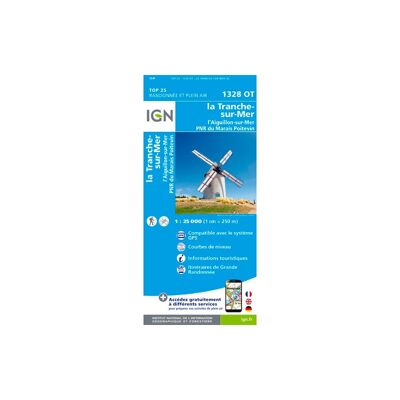
La Tranche Sur Mer - Carte topographique
IGNLa Tranche Sur Mer - Carte topographique13,20 €
Comparer
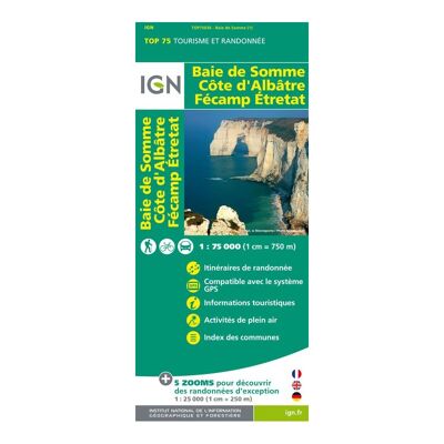
Baie De Somme / Côte D'Albâtre / Fécamp / Etretat - Carte topographique
IGNBaie De Somme / Côte D'Albâtre / Fécamp / Etretat - Carte topographique9,50 €
Comparer
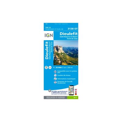
Dieulefit / St-Nazaire-Le-Désert / Forêt De Saou - Carte topographique
IGNDieulefit / St-Nazaire-Le-Désert / Forêt De Saou - Carte topographique13,20 €
Comparer
Nantua - Carte topographique
IGNNantua - Carte topographique13,20 €
Comparer
La Rochelle - Anse De L'Aiguillon - Carte topographique
IGNLa Rochelle - Anse De L'Aiguillon - Carte topographique13,20 €
Comparer
Ile-De-Ré - Carte topographique
IGNIle-De-Ré - Carte topographique13,20 €
Comparer
Chaine Des Aravis / Massif Des Bauges - Carte topographique
IGNChaine Des Aravis / Massif Des Bauges - Carte topographique9,90 €
Comparer
Ambérieu-En-Bugey / Champagne-En-Valromey / Massif Du Bugey - Carte topographique
IGNAmbérieu-En-Bugey / Champagne-En-Valromey / Massif Du Bugey - Carte topographique13,20 €
Comparer
Thonon - Evian - Lac Léman - Carte topographique
IGNThonon - Evian - Lac Léman - Carte topographique13,20 €
Comparer
Ile-D'Oléron - Ile-D'Aix - Carte topographique
IGNIle-D'Oléron - Ile-D'Aix - Carte topographique13,20 €
Comparer
Royan / Forêt De La Coubre - Carte topographique
IGNRoyan / Forêt De La Coubre - Carte topographique13,20 €
Comparer
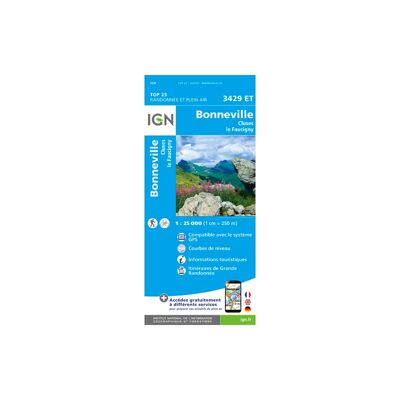
Bonneville. Cluses. Le Faucigny - Carte topographique
IGNBonneville. Cluses. Le Faucigny - Carte topographique13,20 €
Comparer
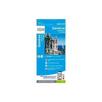
Genève.Annemasse.Le Léman - Carte topographique
IGNGenève.Annemasse.Le Léman - Carte topographique13,20 €
Comparer
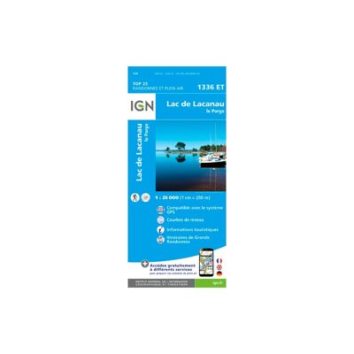
Etang De Lacanau - Carte topographique
IGNEtang De Lacanau - Carte topographique13,20 €
Comparer
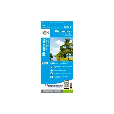
Biscarosse.Lacs De Cazaux Et De Sanguinet, De Biscarosse Et De Parentis - Carte topographique
IGNBiscarosse.Lacs De Cazaux Et De Sanguinet, De Biscarosse Et De Parentis - Carte topographique13,20 €
Comparer
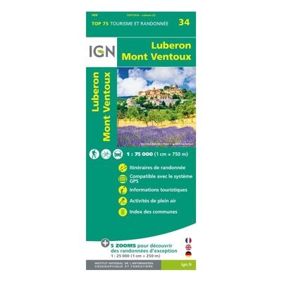
Lubéron.Mont-Ventoux - Carte topographique
IGNLubéron.Mont-Ventoux - Carte topographique9,90 €
Comparer
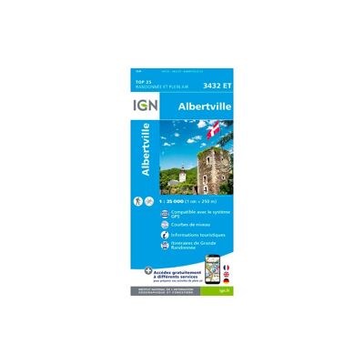
Albertville - Carte topographique
IGNAlbertville - Carte topographique13,20 €
Comparer
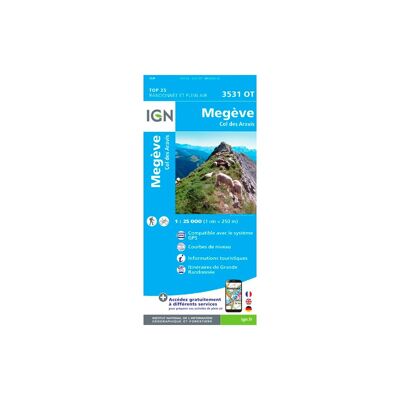
Mégève - Col Des Aravis - Carte topographique
IGNMégève - Col Des Aravis - Carte topographique13,20 €
Comparer
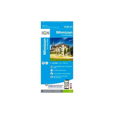
Mimizan / Lac D'Aureihan - Carte topographique
IGNMimizan / Lac D'Aureihan - Carte topographique13,20 €
Comparer
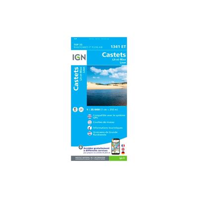
Castets / Lit Et Mixte / Léon - Carte topographique
IGNCastets / Lit Et Mixte / Léon - Carte topographique13,20 €
Comparer
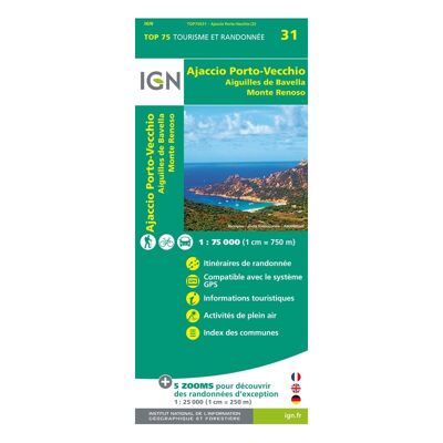
Ajaccio / Porto Vecchio / Aiguilles De Bavella / Monte Renoso - Carte topographique
IGNAjaccio / Porto Vecchio / Aiguilles De Bavella / Monte Renoso - Carte topographique9,50 €
Comparer
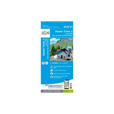
Haute Tinée 2.Isola 2000.Pn Du Mercantour - Carte topographique
IGNHaute Tinée 2.Isola 2000.Pn Du Mercantour - Carte topographique13,20 €
Comparer
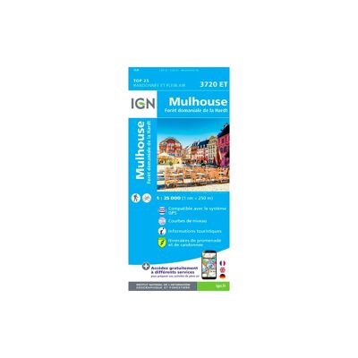
Mulhouse.Forêt Domaniale De La Hardt - Carte topographique
IGNMulhouse.Forêt Domaniale De La Hardt - Carte topographique13,20 €
Comparer
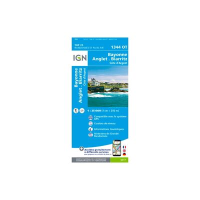
Bayonne - Anglet - Biarritz - Carte topographique
IGNBayonne - Anglet - Biarritz - Carte topographique13,20 €
Comparer
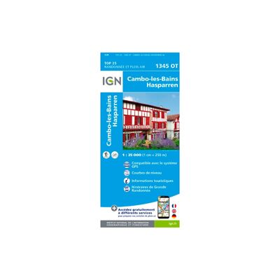
Cambo Les Bains - Carte topographique
IGNCambo Les Bains - Carte topographique13,20 €
Comparer
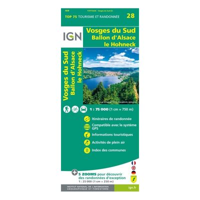
Vosges Du Sud - Carte topographique
IGNVosges Du Sud - Carte topographique9,90 €
Comparer
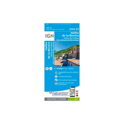
Vallée De La Bévéra Et Des Paillons - Pn Du Mercantour - Carte topographique
IGNVallée De La Bévéra Et Des Paillons - Pn Du Mercantour - Carte topographique13,20 €
Comparer
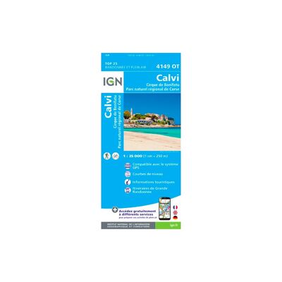
Calvi.Cirque De Bonifatu.Pnr De Corse - Carte topographique
IGNCalvi.Cirque De Bonifatu.Pnr De Corse - Carte topographique13,20 €
Comparer
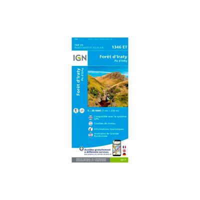
Forêt D'Iraty - Pic D'Orhy - Carte topographique
IGNForêt D'Iraty - Pic D'Orhy - Carte topographique13,20 €
Comparer
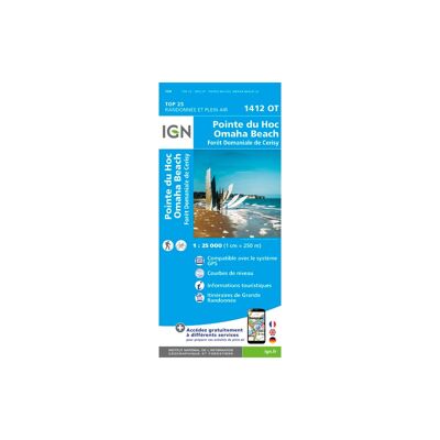
Pointe Du Hoc Omaha Beach - Carte topographique
IGNPointe Du Hoc Omaha Beach - Carte topographique13,20 €
Comparer
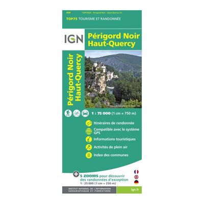
Périgord Noir / Haut Quercy - Carte topographique
IGNPérigord Noir / Haut Quercy - Carte topographique9,50 €
Comparer
Saint-Benoît (Réunion) - Carte topographique
IGNSaint-Benoît (Réunion) - Carte topographique13,20 €
Comparer
L'Etang Salé (Réunion) - Carte topographique
IGNL'Etang Salé (Réunion) - Carte topographique13,20 €
Comparer
Rochefort / Marennes - Carte topographique
IGNRochefort / Marennes - Carte topographique13,20 €
Comparer
Soulac-Sur-Mer.Montalivet.Pointe De Grave - Carte topographique
IGNSoulac-Sur-Mer.Montalivet.Pointe De Grave - Carte topographique13,20 €
Comparer
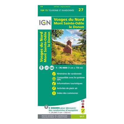
Vosges Du Nord - Carte topographique
IGNVosges Du Nord - Carte topographique9,50 €
Comparer
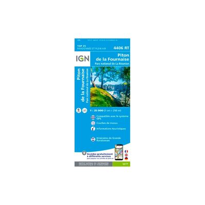
Piton De La Fournaise (Réunion) - Carte topographique
IGNPiton De La Fournaise (Réunion) - Carte topographique13,20 €
Comparer
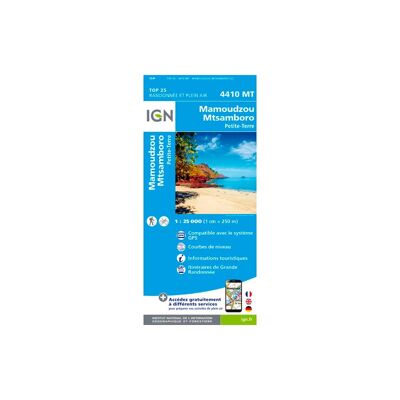
Ile De Mayotte Mamoudzou - Carte topographique
IGNIle De Mayotte Mamoudzou - Carte topographique13,20 €
Comparer
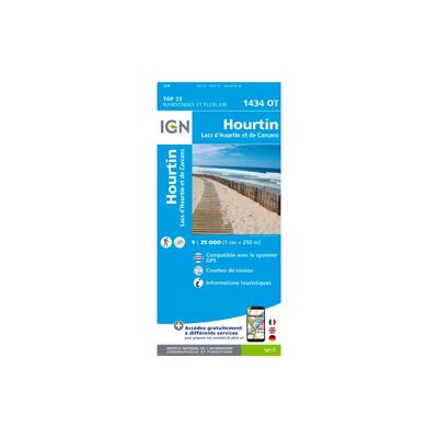
Hourtin. Lacs D'Houtin Et De Carcans - Carte topographique
IGNHourtin. Lacs D'Houtin Et De Carcans - Carte topographique13,20 €
Comparer
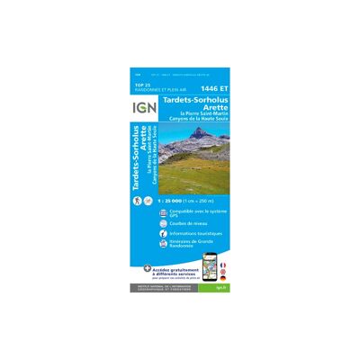
Tardets - Sorholus - Carte topographique
IGNTardets - Sorholus - Carte topographique13,20 €
Comparer
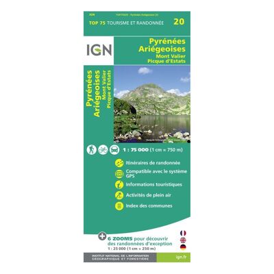
Pyrénées-Ariégeoises / Mont-Valier / Pic-D'Estats - Carte topographique
IGNPyrénées-Ariégeoises / Mont-Valier / Pic-D'Estats - Carte topographique9,90 €
Comparer
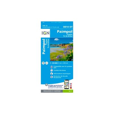
Paimpol / Tréguier / Ile De Bréhat - Carte topographique
IGNPaimpol / Tréguier / Ile De Bréhat - Carte topographique13,20 €
Comparer
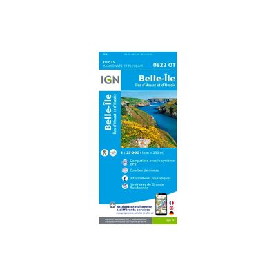
Belle-Île.Îles D'Houat Et D'Hoëdic - Carte topographique
IGNBelle-Île.Îles D'Houat Et D'Hoëdic - Carte topographique13,20 €
Comparer
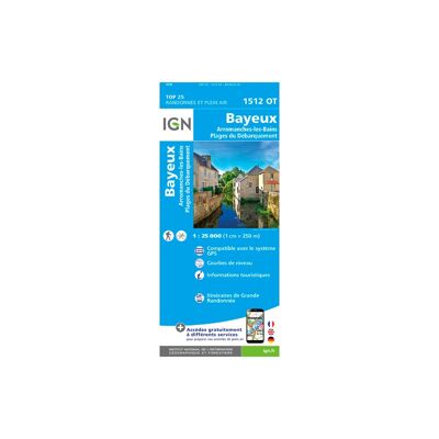
Bayeux / Arromanches-Les-Bains / Plages Du Débarquement - Carte topographique
IGNBayeux / Arromanches-Les-Bains / Plages Du Débarquement - Carte topographique13,20 €
Comparer
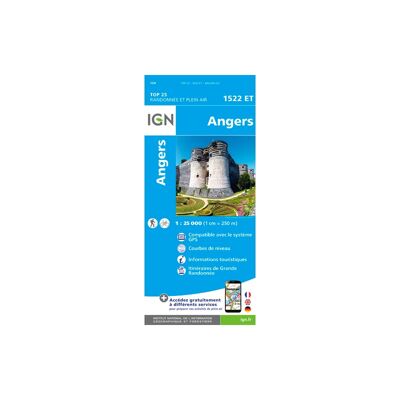
Angers - Carte topographique
IGNAngers - Carte topographique13,20 €
Comparer
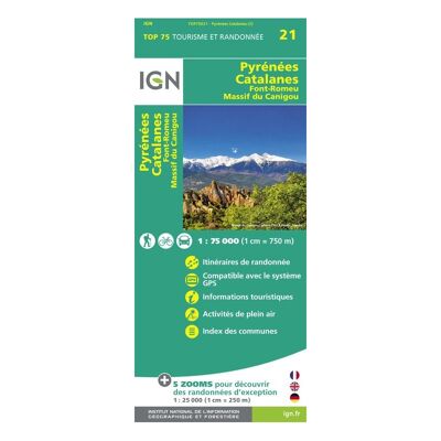
Pyrénées-Catalanes / Font-Romeu / Massif-Du Canigou - Carte topographique
IGNPyrénées-Catalanes / Font-Romeu / Massif-Du Canigou - Carte topographique9,50 €
Comparer
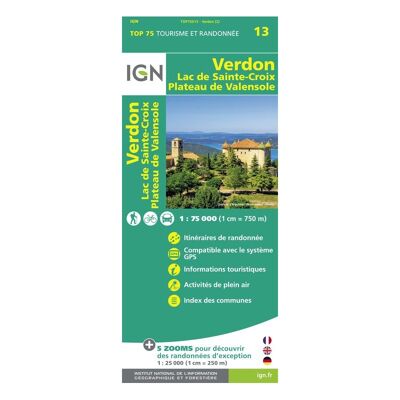
Verdon / Lac-De-Ste-Croix / Plateau-De-Valensole - Carte topographique
IGNVerdon / Lac-De-Ste-Croix / Plateau-De-Valensole - Carte topographique9,50 €
Comparer
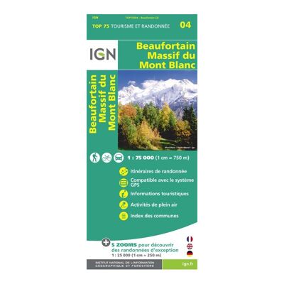
Beaufortin / Massif Du Mont Blanc - Carte topographique
IGNBeaufortin / Massif Du Mont Blanc - Carte topographique9,50 €
Comparer
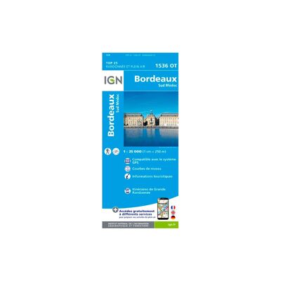
Bordeaux. Sud Médoc - Carte topographique
IGNBordeaux. Sud Médoc - Carte topographique13,20 €
Comparer
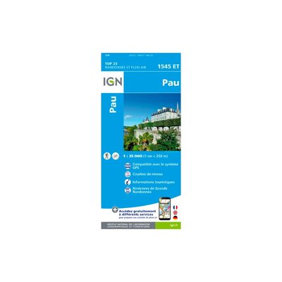
Pau - Carte topographique
IGNPau - Carte topographique13,20 €
Comparer
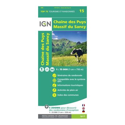
Chaîne-Des Puys / Massif -Du-Sancy - Carte topographique
IGNChaîne-Des Puys / Massif -Du-Sancy - Carte topographique9,50 €
Comparer
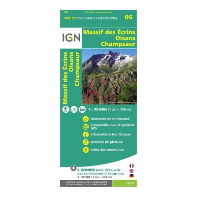
Oisans Champsaur - Carte topographique
IGNOisans Champsaur - Carte topographique9,50 €
Comparer
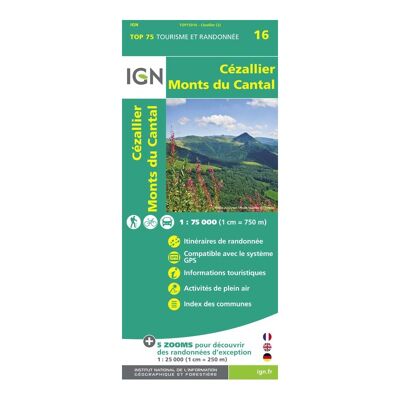
Cézallier / Monts-Du-Cantal - Carte topographique
IGNCézallier / Monts-Du-Cantal - Carte topographique9,50 €
Comparer
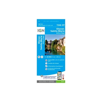
Oloron - Sainte-Marie - Carte topographique
IGNOloron - Sainte-Marie - Carte topographique13,20 €
Comparer
4 €32 €