Skip to main content
Livraison gratuite dès
100 €*
Retour gratuit sous
100 jours
Conseils d'experts
Prendre rendez-vous
Contactez-nous
FAQ
04 85 21 31 82
Me connecter
Accès
Me connecter
Mot de passe oublié
Vêtements
Chaussures
Randonnée
Trail-Running
Escalade
Vélo
Hiver
Activités
Seconde main
Marques
Promos
Magazine
Conseils d'experts
Promos d'été 🔥 -5 % EXTRA dès 2 produits* code Summer5
Livres & Cartes
Livres d'aventure & Cartes
(331 Résultat)
Trier par
Préférés
Nouveautés
Du moins au plus cher
Du plus au moins cher
Promos
Filtrer
(0)
331 Résultats
Trier par
Filtrer
Catégories
Livres & Cartes
Guides & Livres d'aventures
Cartes
Genre
Homme
Femme
Marques
Editions Ouest France
IGN
Jolie Foulée
Mango Editions
Marabout
Rando Editions
Vagnon Editions
Voir 1 de plus
Recommandé pour
Randonnée
Trail
Running
Trekking
Voyage
Vélo
Voir 2 de plus
Prix
0€ - 25€
25€ - 50€
Promotion
0% - 10%
10% - 20%
20% - 30%
30% - 40%
Type
Livre
Label
Origine Européenne Garantie
Trier par
Préférés
Nouveautés
Du moins au plus cher
Du plus au moins cher
Promos
IGN
Vico.Cargèse.Golfe De Sagone.Pnr De Corse - Carte topographique
13,20 €
IGN
Blois / Chambord / Cheverny - Carte topographique
13,20 €
IGN
Rochefort / Marennes - Carte topographique
13,20 €
IGN
Entre Léman Et Mont-Blanc - Carte topographique
9,50 €
IGN
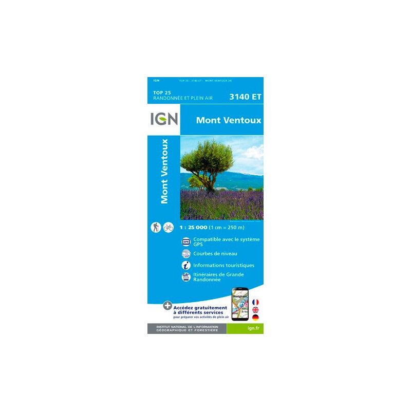
Mont Ventoux - Carte topographique
13,20 €
IGN
Etang De Lacanau - Carte topographique
13,20 €
IGN
Oloron - Sainte-Marie - Carte topographique
13,20 €
IGN
Barcelonnette.Pra-Loup.Le Sauze.Allos.Pn Du Mercantour - Carte topographique
13,20 €
IGN
Pontarlier.Levier-Lac De St-Point - Carte topographique
13,20 €
IGN
Bourg-Madame.Mont-Louis.Col De La Perche - Carte topographique
13,20 €
IGN
Font - Romeu. Capcir - Carte topographique
13,20 €
IGN
Aigues Mortes.La Grande Motte - Carte topographique
13,20 €
IGN
Durban-Corbières.Leucate.Plages Du Roussillon - Carte topographique
13,20 €
IGN
Lavelanet / Montsegur / Lac De Montbel - Carte topographique
13,20 €
IGN
Saint-Gilles / Vauvert / La Petite Camargue - Carte topographique
13,20 €
IGN
Nuits-Saint-Georges - Carte topographique
13,20 €
IGN
Saint-Nazaire / Pornic - Carte topographique
13,20 €
IGN
Fécamp / St-Valery-En-Caux - Carte topographique
13,20 €
IGN
Nouvelle-Zélande - Carte topographique
8,95 €
IGN
Sarrebourg.Phalsbourg.Pays Des Etangs - Carte topographique
13,20 €
IGN
Presqu'Ile De Quiberon / Auray / Carnac - Carte topographique
13,20 €
IGN
Tardets - Sorholus - Carte topographique
13,20 €
IGN
Rumilly - Carte topographique
13,20 €
IGN
Alès - Carte topographique
13,20 €
IGN
Remiremont.Val D'Ajol.Plombières-Les-Bains - Carte topographique
13,20 €
IGN
Saumur / Bourgueil / Fontevraud-L'Abbaye - Carte topographique
13,20 €
IGN
Porto.Calanche De Piana.Pnr De Corse - Carte topographique
13,20 €
IGN
Vaucluse À Vélo - Carte topographique
8,95 €
IGN
Ile-D'Oléron - Ile-D'Aix - Carte topographique
13,20 €
IGN
Pézenas / Murviel-Lès-Béziers - Carte topographique
13,20 €
IGN
Forêt D'Eu.Blangy-Sur-Bresle.Gamaches - Carte topographique
13,20 €
IGN
Pointe Du Hoc Omaha Beach - Carte topographique
13,20 €
IGN
Monts Du Lyonnais - Carte topographique
13,20 €
IGN
Céret.Amélie-Les-Bains-Palalda.Vallée Du Tech - Carte topographique
13,20 €
IGN
Aléria.Ghisonaccia.Pnr De Corse - Carte topographique
13,20 €
IGN
Saint-Hippolyte-Du-Fort.Anduze Saint-Jean-Du-Gard - Carte topographique
13,20 €
IGN
Cannes - Grasses - Carte topographique
13,20 €
IGN
Castets / Lit Et Mixte / Léon - Carte topographique
13,20 €
IGN
Saint-Nazaire Pnr De Brière - Carte topographique
13,20 €
IGN
Foret D'Orient / Lac Du Der - Carte topographique
9,50 €
IGN
Le Touquet-Paris-Plage.Berck.Vallée De La Canche - Carte topographique
13,20 €
IGN
Port-Saint-Louis Du Rhône - Carte topographique
13,20 €
IGN
Lons-Le-Saunier.Poligny.Reculée De Baume (Remplace 3226O) - Carte topographique
13,20 €
IGN
Forêt De Mormal - Carte topographique
13,20 €
IGN
Bastia.Golfe De Saint-Florent - Carte topographique
13,20 €
IGN
Val Cenis.Charbonnel - Carte topographique
13,20 €
IGN
Caen / Ouistreham - Carte topographique
13,20 €
IGN
Le Lamentin.Presqu'Île De La Caravelle.Pnr De Martinique - Carte topographique
13,20 €
IGN
Dieppe-Eu-Forêt D'Arques - Carte topographique
13,20 €
IGN
Riom-Ès-Montagnes.Bort-Les-Orgues.Pnr Des Volcans D'Auvergne - Carte topographique
13,20 €
IGN
Sartène.Montagne De Cagna.Pnr De Corse - Carte topographique
13,20 €
IGN
Le Grand Ballon.Cernay.Guebwiller - Carte topographique
13,20 €
IGN
Milly-La-Forêt.Malesherbes.La Ferté-Alais - Carte topographique
13,20 €
IGN
Huelgoat / Montd D'Arrée / Pnd D'Armorique - Carte topographique
13,20 €
IGN
Sarreguemines-Vallée De La Sarre - Carte topographique
13,20 €
IGN
Nancy / Toul / Forêt De Haye - Carte topographique
13,20 €
IGN
Cuers / Pierrefeu - Carte topographique
13,20 €
IGN
Lyon / Villeubanne / Mont D'Or - Carte topographique
13,20 €
IGN
Haguenau.Lembach.Pnr Des Vosges Du Nord - Carte topographique
13,20 €
IGN
Paris.Forêts De Meudon Et De Fausses Reposes - Carte topographique
13,20 €
1
...
3
4
5
6
Nos marques de chaussures, vêtements et matériel
Patagonia
Ortovox
Rab
La Sportiva
Lowa
Altra
Millet
Moon boot
Helly Hansen
Barbour
Fjällräven
Columbia
Scarpa
Vaude
Mammut
Julbo
New balance
Hanwag
Birkenstock
Petzl
Chaussures, vêtements et matériel : plus de catégories
Doudounes femme
Parkas femme
Polaires femme
Doudounes homme
Parkas homme
Polaires homme
Tentes
Matelas de randonnée
Lampes frontales
Sacs de couchage
Réchauds
Sacs à dos randonnée
Piolets
Chaussures de randonnée
Chaussures de trail
Chaussures de running
Chaussons d'escalade
Chaussures randonnée enfant
Casques vélo
Porte-bébés randonnée
Vêtements enfant
Polaire enfant
Bottes de pluie Aigle enfant
Polaires Patagonia
Doudounes Pyrenex
Vestes Helly Hansen
Polaires Columbia
Lampes frontales Black Diamond
Chaussures Meindl
Sacs à dos Dakine
Cuissards Assos
Casques Giro
Doudounes Rab
Harnais chien
Laisses chien
Sacoches vélo Ortlieb
Chaussures Altra
Tours de cou Buff
Casques vélo Abus
Doudounes Patagonia